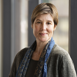
Dr. Julia Linke, Science Coordinator
Dr. Julia Linke is a spatial ecologist with a B. Sc. degree in forestry and environmental management (University of New Brunswick 1999) and M. Sc. and PhD degrees in geography (University of Calgary in 2003 and 2010). Her research interests include the applications of GIS and remote sensing data and tools for the monitoring, modeling, mapping and landscape pattern analysis of forest ecosystems. She joined the Applied Geospatial Research Group in March 2016 as scientific coordinator for the NSERC BERA-project team to facilitate communication between members of the research team, collaborators, partners and the public and to assist coordinating cross-teamed research collaborations.

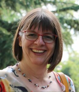
Claudia Maurer, Administrative Coordinator
Claudia Maurer is the administration assistant for three research teams in the department of Geology at the University of Calgary, including the group of Dr. Greg McDermid. Originally from Germany, where she received a degree in Architecture, she changed careers in 2011 and joined the University of Calgary. She held various administrative roles and has gained expert understanding of the University’s systems and processes both from the operational and research side. In her spare time she enjoys reading, gardening, skiing, and spending time with her family and friends.

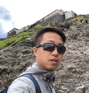
Dr. Richard Zeng, Geospatial Research Technician
Richard is working in role of Geospatial Research Technician for BERA Project, providing technical support for team members as well as developing software tools to manage and analyze geospatial data generated during research activities. Richard has rich experiences in remote sensing and GIS on both software development and data processing. He is interested in web-based geospatial data analysis, machine learning applications in remote sensing and drone related data automation.

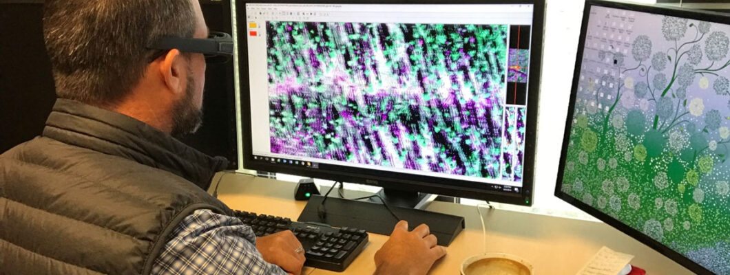
Maverick Fong, Geospatial Research Technician
Maverick has degrees in Surveying and Information Technology. He has years of surveying experience using total stations, GNSS, and UAV to collect data, create and maintain geospatial data, and create maps in the ArcGIS enterprise environment. He joined BERA as a Co-op summer practicum student and then joined the team after completing his Bachelor of Applied Technology Geographic Information Systems at SAIT.
